Maps Teaching Resources for Year 6
- Plus Plan
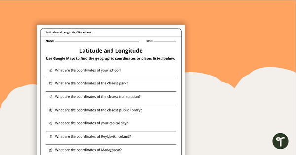
Latitude and Longitude Worksheet
Use this worksheet along with Google Maps to teach your students about longitude and latitude.
- Plus Plan
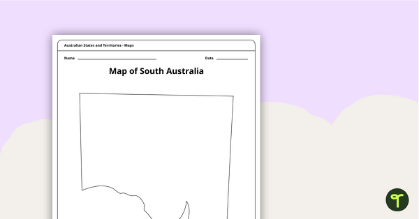
Blank Map of South Australia - Template
Record and represent data about the location of significant places with this printable blank map of the Australian state of South Australia.
- Plus Plan
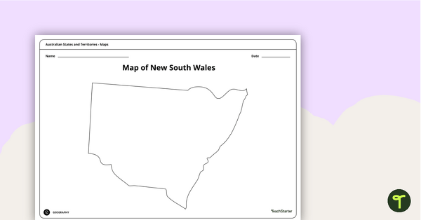
Blank Map of New South Wales - Template
Record and represent data about the location of significant places with this printable blank map of the Australian state of New South Wales.
- Plus Plan
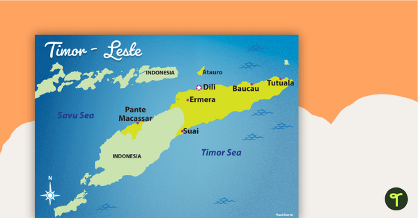
Map of Timor-Leste
Familiarise your students with Australia’s neighbouring countries with this detailed map of Timor-Leste.
- Free Plan
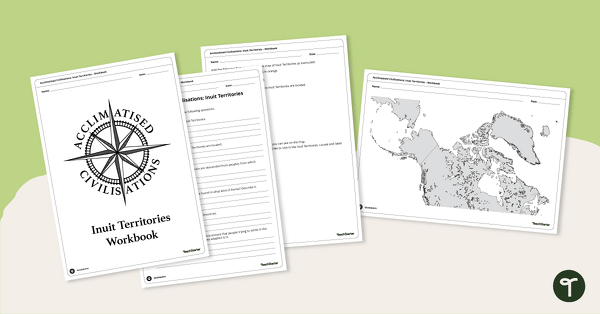
Acclimatised Civilisations: Inuit Territories – Workbook
Learn about the physical and human geography of the Inuit Territories with this inquiry-based mapping activity.
- Plus Plan
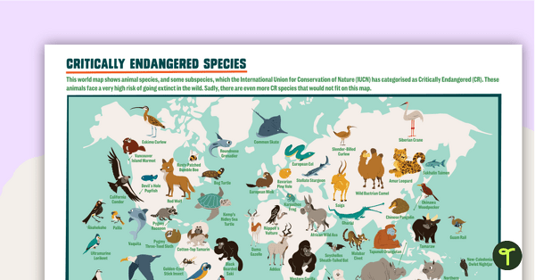
Critically Endangered Species Map – Poster
A poster of the world map featuring 64 species and subspecies that are on the critically endangered list.
- Plus Plan
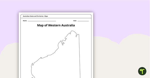
Blank Map of Western Australia - Template
Record and represent data about the location of significant places with this printable blank map of the Australian state of Western Australia.
- Plus Plan
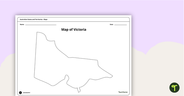
Blank Map of Victoria - Template
Record and represent data about the location of significant places with this printable blank map of the Australian state of Victoria.
- Plus Plan
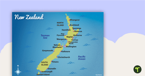
Map of New Zealand
Familiarise your students with Australia’s neighbouring countries with this detailed map of New Zealand.
- Plus Plan
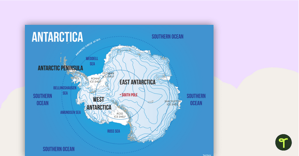
Map of Antarctica
Familiarise your students with the continent of Antarctica using a labelled map.
- Free Plan
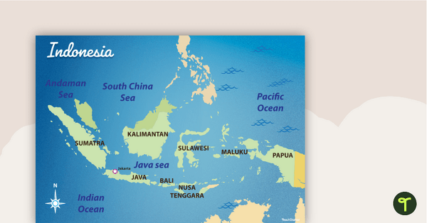
Map of Indonesia
Familiarise your students with Australia’s neighbouring countries with this detailed map of Indonesia.
- Plus Plan
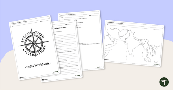
Acclimatised Civilisations: India – Workbook
Learn about the physical and human geography of the continent of India with this inquiry-based mapping activity.
- Plus Plan
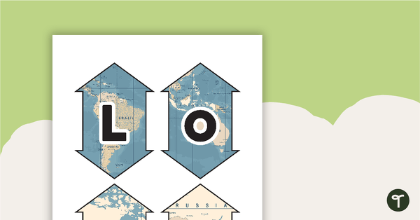
Latitude and Longitude Banners
Latitude and longitude banners to display in the classroom when studying geography.
- Plus Plan
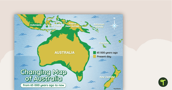
Changing Map of Australia - 65 000 Years Ago to Present Day
A map showing the changes in Australia's coastline from 65 000 years ago to the present day.
- Plus Plan
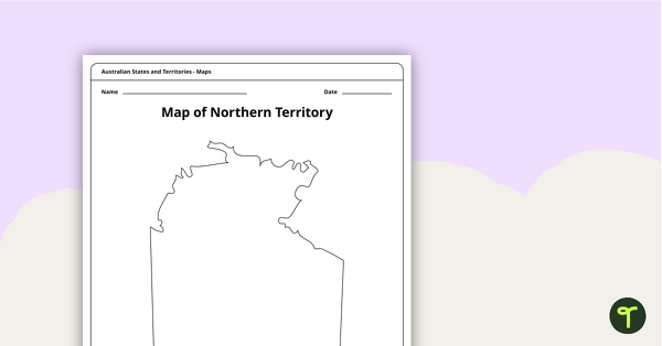
Map of the Northern Territory Template
Record and represent data about the location of significant places with this printable blank map of the Northern Territory.
- Plus Plan
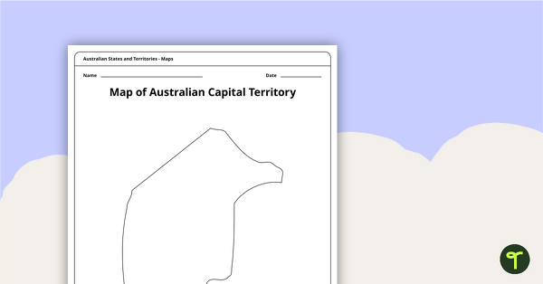
Black Map of the Australian Capital Territory - Template
Record and represent data about the location of significant places with this printable blank map of the Australian Capital Territory.
- Plus Plan
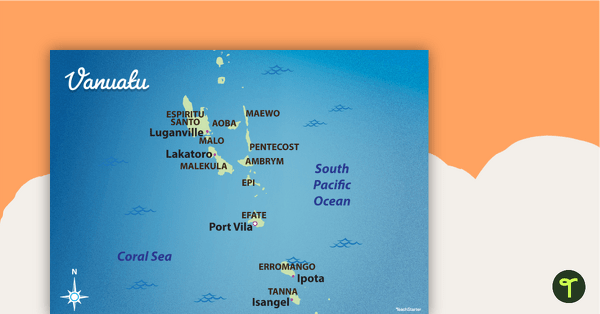
Map of Vanuatu
Familiarise your students with Australia’s neighbouring countries with this detailed map of Vanuatu.
- Plus Plan
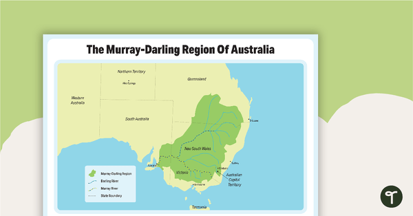
The Murray-Darling Region Of Australia Poster
A poster to show the Murray-Darling Region of Australia.
- Plus Plan
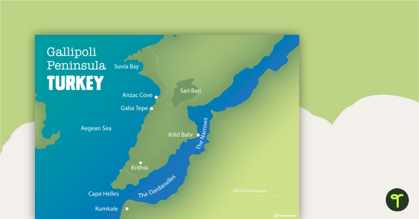
World War One Maps
A set of maps to use in the classroom when learning about WW1.
- Plus Plan
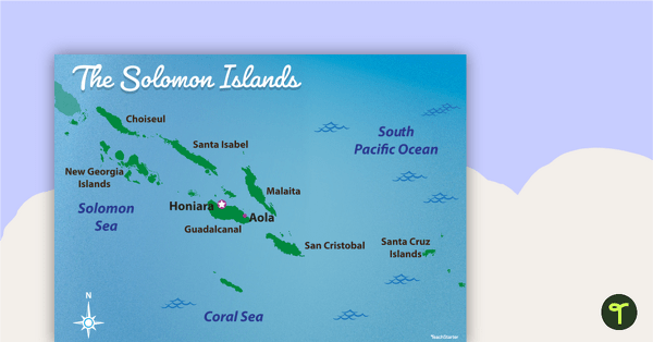
Map of The Solomon Islands
Familiarise your students with Australia’s neighbouring countries with this detailed map of The Solomon Islands.
- Plus Plan
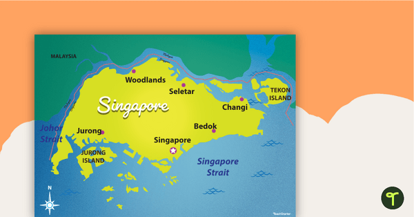
Map of Singapore
Familiarise your students with Australia’s neighbouring countries with this detailed map of Singapore.
- Plus Plan
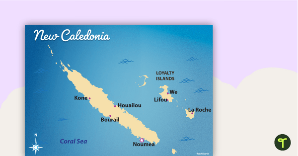
Map of New Caledonia
Familiarise your students with Australia’s neighbouring countries with this detailed map ofNew Calendonia.
- Plus Plan
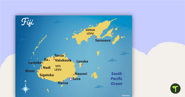
Map of Fiji
Familiarise your students with Australia’s neighbouring countries with this detailed map of Fiji.